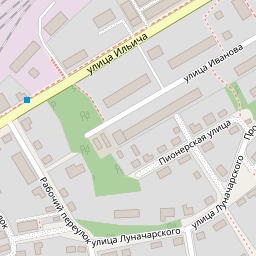

Водонапорная башня
Баня
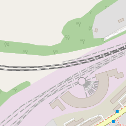
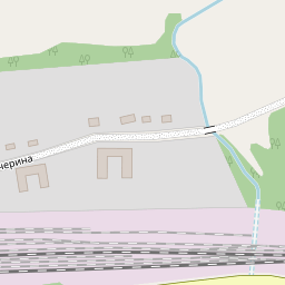
Поворотный круг
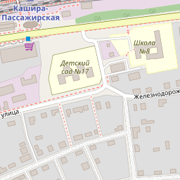
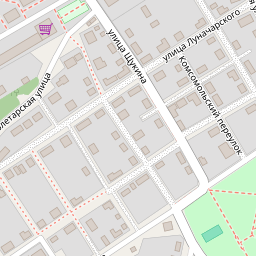
Школа
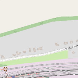
Застройка нач. XX века
Leaflet | Map data © OpenStreetMap contributors,
To save the map:
- press Ctrl/P to hide all except the map itself
- Choose "Save As" in browser File menu and save the map
(as "Web page complete") - press Ctrl/P again to continue editing
To edit existing map drop it (i.e. "saved as" html file) here or onto the map
X
54.85627,38.18723
Tracks:
Points:
T2024-12-24-12-09.gpx
38
Points: